 Services Oreinted Architecture
Our Solutions covers, and not limited to, Applications, GIS techniques and technology Relating information from different sources, GIS uncertainties studies, Data representation Raster & Vector, evaluating the Advantages and disadvantages, Non-spatial data manipulation, Raster-to-vector translation. projections, coordinate systems and registration, Spatial analysis with GIS Slope and aspect, Data analysis, Topological modeling, Networks, Hydrological Modeling, Cartographic modeling, Map overlay, Automated cartography, Geostatistics, Address geocoding, Reverse geocoding, Data output and cartography, Graphic display techniques, Spatial ETL, Web mapping, Service-oriented architecture, Global change, climate history program and prediction of its impact, Adding the dimension of time
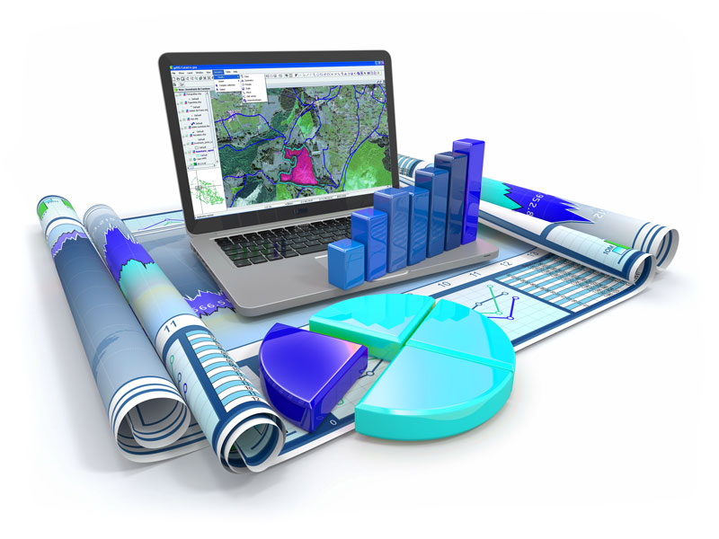
Our Solutions in geographic information system (GIS) integrates hardware, software, and data for capturing, managing, analyzing, and displaying all forms of geographically referenced information. It also allows the customer to view, understand, question, interpret, visualize and even control the systems and data in many ways that reveal relationships, patterns, and trends in the form of maps, globes, reports, and charts. It helps you answer questions and solve problems by looking at your data in a way that is quickly understood and easily shared. The GIS technology can also be integrated into any enterprise information system framework.